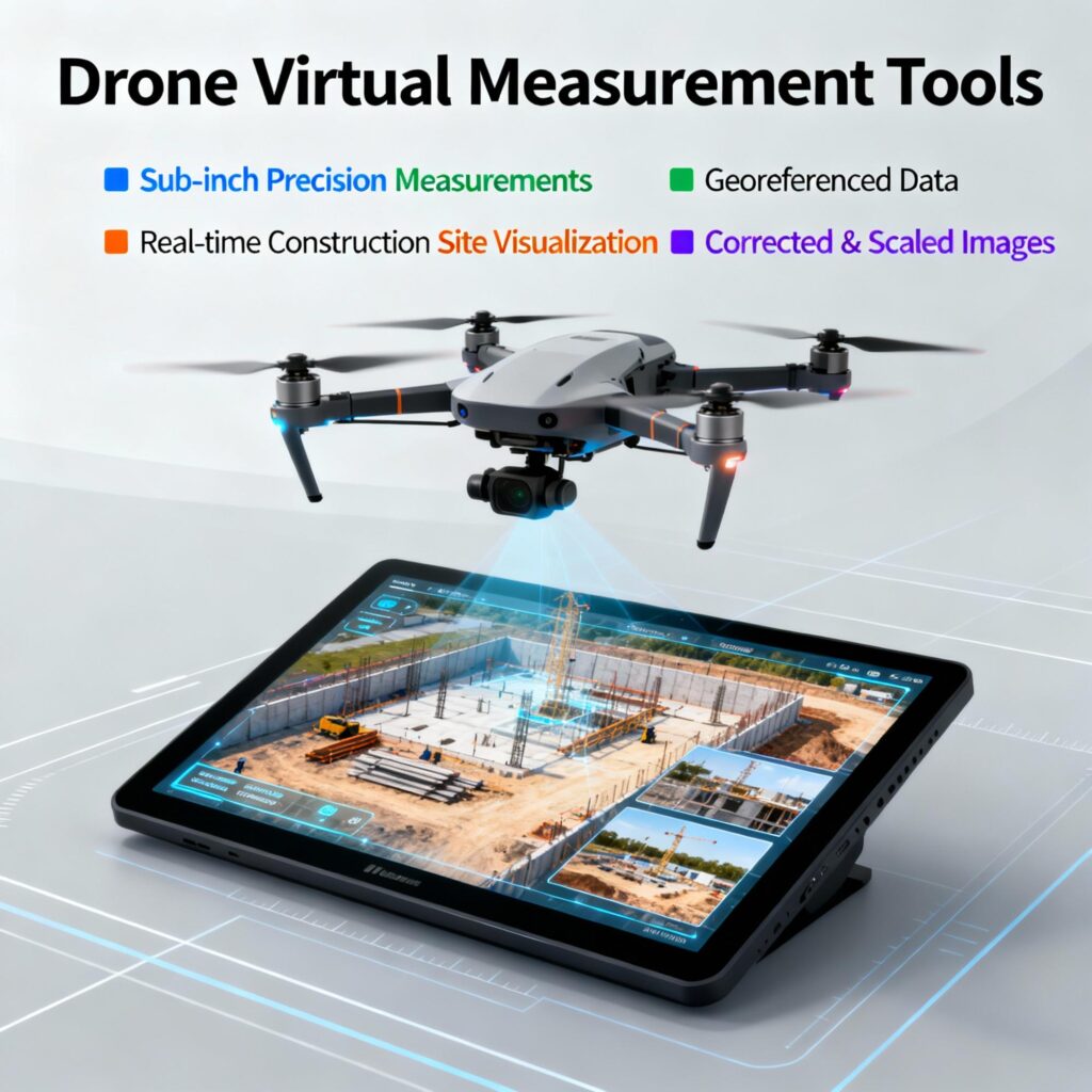
Virtual Measurement Tools
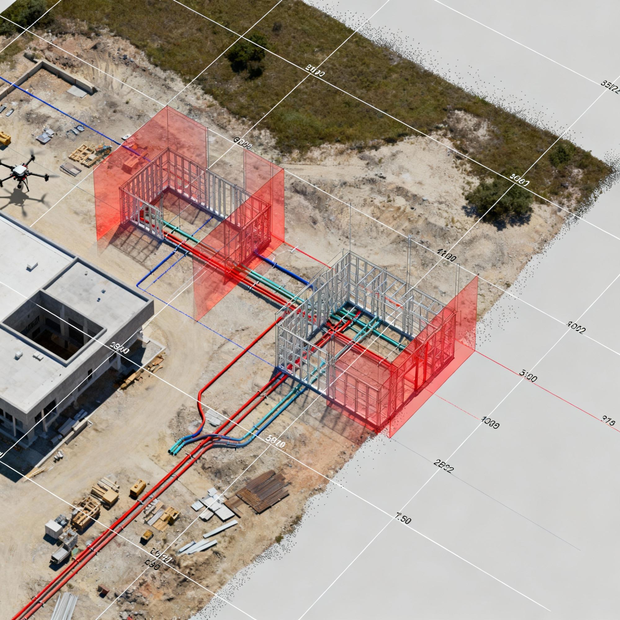
Drones with survey-grade precision and accuracy capabilities can capture measurements down to sub-inch or sub-3cm levels. These drones are capable of georeferencing data to user-defined coordinate systems, ensuring that the data aligns perfectly with specific spatial references.
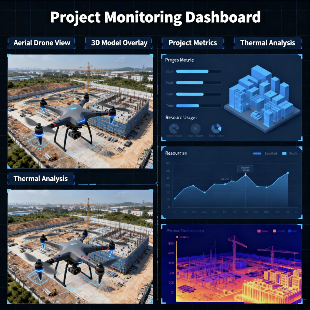
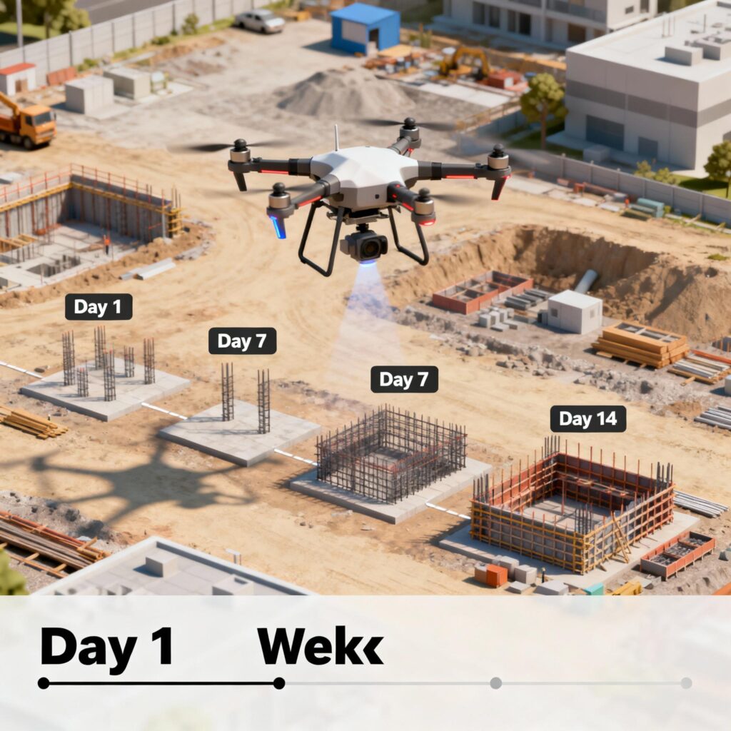
The images they capture are corrected and scaled accurately, eliminating distortion and ensuring true representations of the site. Real-time visualization of construction sites is facilitated, allowing for online access or downloading of data in various formats.
This technology is transforming the surveying and mapping industry by offering efficient data collection, analysis, and visualization. Drones provide enhanced precision, streamlined workflows, and better decision-making for sectors like construction, engineering, and land surveying, thanks to reliable, up-to-date spatial information.